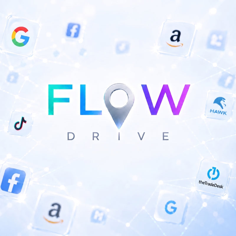
DYNAMIC CATCHMENT AREA SAAS PLATFORM

From territorial intelligence to media execution

Flow is your spatial intelligence platform.

Flow analyzes the catchment area dynamics impacting your locations to reveal your territory's potential.

These insights are then transformed into ready-to-use geotargeting files for your standard advertising tools, indicating precisely which territories to focus your budget on based on your campaign objectives, timing, and media tactics.

Flow then continuously measures the impact of your actions on the catchment area to ensure the ongoing optimization of your media campaigns.


ANALYSIS GEOMETRY

It all starts with your location

A catchment area doesn't exist in a vacuum: it is the direct consequence of your location's gravitational pull. Flow adapts its measurement to the exact nature of your commercial asset to decode its true territorial reach.
LEVEL 1

Store Footprint

The Territory of Intent
CONCEPT

Measure your brand's unique pulling power. Designed specifically for large-footprint stand-alone stores. The analysis focuses on the exclusive drawing power of your location to define the catchment area your brand generates on its own.

TERRITORIAL REALITY

Reveals core precise neighborhood origins, and the actual boundary of your destination's drawing power.

DIGITAL BRIDGE

Translates physical store visits into a hyper-precise spatial geoplan, directing media pressure only to high-contribution neighborhoods.

LEVEL 2

Street Footprint

The Territory of Flow
CONCEPT

Evaluate the potential of your transit axis. Built for open environments. Flow measures the influence zone of the street or road axis, capturing the origin of pedestrian and vehicular traffic passing right in front of your storefront.

TERRITORIAL REALITY

Reveals capture potential, street-level tension, and the territorial contribution of the immediate open corridor.

DIGITAL BRIDGE

Converts street-level mobility into targeted localized bid multipliers, intercepting opportunistic traffic flows.

LEVEL 3

Hub Footprint

The Territory of Polarity
CONCEPT

Leverage the gravity of shopping centers. Designed for macro-traffic generators. Your store benefits from the massive catchment area generated by the regional pulling power of a commercial ecosystem, shopping centre or hub.

TERRITORIAL REALITY

Reveals macro-territorial shifts, cross-zone influence, and overall resilience independent of a single storefront.

DIGITAL BRIDGE

Unifies macro-commercial gravity with strategic media execution, scaling campaigns across broad, weighted influence zones.


TEMPORAL HORIZONS

Adapt your analysis to the rhythm of your territories

Adapt your analysis to the rhythm of your territories
Annual Structure

Evergreen

Measure your foundation and its evolution. 

Identify the neighborhoods that bring you regular visitors, month after month. 

The platform measures the deformation and slow evolution of your catchment area year-over-year, allowing you to detect a location that is growing or eroding. 

This long-term view lets you compare your in-store performance with the overall territorial performance to verify if they are on par or misaligned, while establishing a solid baseline to support your continuous ("always-on") marketing actions.

Seasonal Performance

Season

Evaluate your seasonal success.

Understand how your catchment area evolves from one season to the next (summer holidays, back-to-school, winter season). 

The platform compares your performance with the previous year to verify if the season was positive and to anticipate behaviors for the next one.

It also serves as a seamless tool to measure your Windsor store's sales performance against overall catchment area dynamics, verifying whether they align or show a variance.

Promotional Highlights

Event

Target the intensity of your events. 

A catchment area reacts differently depending on the urgency of the offer. The platform adapts to three event profiles to measure and target the territories that mobilize the most:

  1. Emergency (1 to 3 days): Flash sales, liquidations, last-minute offers.
  2. Promotion (1 to 2 weeks): Black Friday, Mother's Day, Father's Day.
  3. Destination (3 to 4 weeks): Winter or summer sales, Christmas period.

DRIVE ENGINE — EXECUTION & GEOPLANNING

From strategic analysis to ready-to-use campaign geoplans.

From strategic analysis to ready-to-use campaign geoplans.
SEQUENCE 01

Tailored Geoplanning

Built around your strategic & tactic choices.

Based on your timeline (Evergreen, Season, Event) and your marketing objective (acquisition, retention, loyalty, or acceleration), the platform configures your campaigns and validates target areas.

SEQUENCE 02

Universal Export

Turn territorial intelligence into a concrete action plan.

Get a data table ready for export to any DSP, available in four different formats, along with a territorial score to precisely optimize your ad bidding strategy.

SEQUENCE 03

Geolift Measurement

Evaluate campaign success post-launch.

Built directly into the platform, the measurement module scientifically evaluates the actual incremental increase in activity across your territory post-campaign.


WORKFLOW & DELIVERABLES

From territorial intelligence to geoplanning

A continuous analytical process.
Understand your territory's dynamics, measure past performance, and receive an optimized geoplan for your upcoming actions.
STEP 1 • INSIGHT

Territorial dynamics

Analyze the annual structure of your catchment area and its spatial reactivity to temporal shifts. Understand how seasonality physically reshapes your true provenance zones.

STEP 2 • MEASUREMENT

Spatial performance

Evaluate how your catchment area performed during a past event or completed season. Pinpoint exactly which local territories reacted and which remained inactive.

STEP 3 • DELIVERABLE

Geoplan delivery

Translate insights into action. Receive a ready-to-use spatial geoplan designed to target the most reactive territories and optimize media pressure for your next season.